Buckskin Gulch, Arizona: Your Complete Hiking Guide
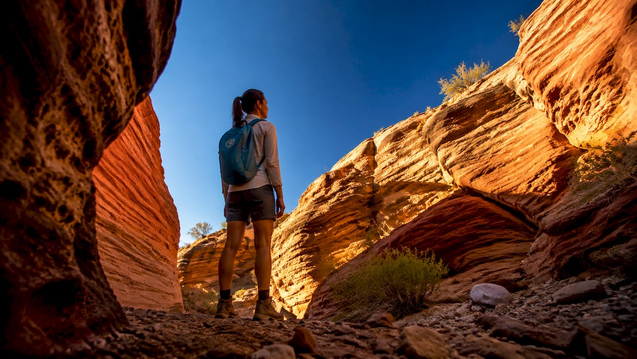
Buckskin Gulch is the longest slot canyon in the world, stretching approximately 21 miles through the Paria Canyon-Vermillion Cliffs Wilderness right on the Utah-Arizona border. Canyon walls soar up to 400 feet high and squeeze down to about 4 feet wide in places, creating one of the most dramatic and immersive hiking experiences in the American Southwest. It sits near Grand Staircase-Escalante National Monument, which adds to the sheer remoteness and wild beauty of the area. Before you go, here’s what you need to lock in:
- Permits are required for all visitors. Day-use permits cost $6 per person and $6 per dog; overnight camping permits cost $5 per person per night.
- Buy permits in advance at recreation.gov or use the self-registration kiosk at Wire Pass Trailhead.
- Check the weather for the entire upstream watershed, not just the canyon itself. Flash floods can arrive with zero warning.
- Flash flood risk is real. Canyon walls offer very few escape routes, and water can rise 15 feet in minutes.
Trail options and hiking routes in Buckskin Gulch
There are four main entry points, each offering a different experience depending on how far you want to go and how many days you have.
| Trailhead | Distance to Canyon | Notes |
|---|---|---|
| Wire Pass | 1.7 miles to Buckskin Junction | Most popular; parking and permit kiosk on-site |
| Buckskin Gulch | ~4.5 miles from Hwy 89 | Direct entry, less foot traffic |
| White House | Southern access via Paria Canyon | Multi-day route starting point |
| Lees Ferry | End point of full traverse | Shuttle required for one-way trips |
The Wire Pass Trailhead is the go-to for day hikers, located 43 miles west of Page, Arizona. From there, you reach the Buckskin Gulch junction at 1.7 miles, then most hikers push 1–3 miles deeper into the canyon before turning around. A full traverse from Wire Pass to Lees Ferry covers 21 miles and is typically a two-day backpacking trip.
- Day hike: 4–10 miles round trip, depending on your pace and turnaround point
- Full traverse: 21 miles, usually two days with an overnight camp
- Terrain: Sand, rock slabs, keeper pools, and narrow squeezes requiring you to turn sideways
- Difficulty: Moderate to strenuous; no technical climbing needed for day hikes, but physical fitness matters
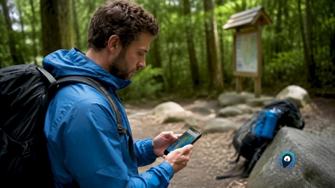
GPS coordinates for Wire Pass Trailhead: 37.0281° N, 111.9253° W. Download an offline map via Gaia GPS or CalTopo before you leave cell service, which happens well before the trailhead.
Regulations, permits, and safety you need to know
The Bureau of Land Management (BLM) manages Buckskin Gulch under the Paria Canyon-Vermillion Cliffs Wilderness permit system. Day-use permits cover sunrise to sunset only and do not include overnight use, Coyote Buttes North (The Wave), or Coyote Buttes South. Pick up permits at the Arizona Strip District office in St. George, the Kanab Field Office (november 16 through march 14), or the Paria Contact Station (march 15 through november 15).
Key rules to know:
- No campfires anywhere in the wilderness area
- Dogs allowed on day-use permits at $6 per dog, but must be leashed
- Human waste must be packed out using WAG bags, available at BLM offices
- No camping within 0.25 miles of water sources or within the canyon’s narrow slot sections
Flash flooding is the single biggest danger here. Canyon walls leave almost no exit for a 14-mile stretch, and storms miles away can send a wall of water through with zero warning. The Middle-Out Escape Route is the only way out within that long stretch, but it requires ropes and technical climbing skills most hikers don’t have.
Pro Tip: Check the weather forecast for Kanab, Page, and the broader Paria River watershed the morning of your hike. If there’s any chance of rain within 50 miles upstream, postpone. No photo or summit is worth the risk.
How to reach the trailheads and where to park
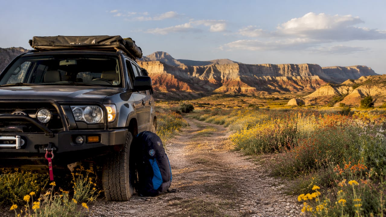
Getting to Buckskin Gulch means driving House Rock Valley Road, a dirt road off U.S. Route 89 between Kanab, Utah, and Page, Arizona. The Buckskin Gulch Trailhead sits about 4.5 miles from Highway 89; Wire Pass Trailhead is 8.3 miles south.
| Trailhead | From Kanab | From Page |
|---|---|---|
| Wire Pass | —, then 8.3 miles south | ~43 miles west on Hwy 89, then 8.3 miles south |
| Buckskin Gulch | ~37 miles east on Hwy 89, then 4.5 miles south | —, then 4.5 miles south |
The road’s clay surface becomes completely impassable when wet, even for 4WD vehicles. Call the BLM at 435-688-3200 to check conditions before you drive out. Both trailheads have small parking lots; display your permit on your dashboard.
Practical tips for hiking Buckskin Gulch safely
Spring (april through june) and fall (september through november) are the best times to visit for comfortable temperatures and lower flash flood risk. Summer brings brutal heat and monsoon storms; winter can mean snow and ice in the canyon’s shadowed depths.
Gear and preparation essentials:
- Footwear: Wear quick-drying, high-traction shoes or sandals. You will get wet.
- Dry bags: Pack electronics, food, and clothing in waterproof dry bags for the keeper pool sections.
- Water: Carry 4–6 liters per person per day. Water sources inside the canyon are scarce and unreliable.
- Sun protection: The canyon provides shade, but approach trails are fully exposed.
- Navigation: Download offline maps before you lose signal.
Big Springs, the first reliably consistent water source, sits 5 miles south of the Paria and Buckskin confluence. Don’t count on anything before that. If you’re shooting the canyon for photography in the Southwest, midday light filtering down the narrow walls creates stunning, diffused shots that you simply can’t replicate anywhere else.
Pro Tip: Many experienced hikers turn back after the most scenic sections rather than pushing for distance. The canyon rewards patience, not mileage.
Camping inside Buckskin Gulch
Overnight camping requires a separate permit at $5 per person per night, purchased through recreation.gov or at BLM offices. Camping is only permitted in designated areas within Paria Canyon, not inside the narrow slot sections of Buckskin Gulch itself.
Campers must pack out all human waste using WAG bags provided at permit pickup. No fires are allowed anywhere in the wilderness. Water from Big Springs and other sources must be filtered or treated before drinking. Group size is limited, so check current caps when booking your permit.
Wildlife and conservation in the Paria Canyon wilderness
The Paria Canyon-Vermillion Cliffs Wilderness shelters desert bighorn sheep, peregrine falcons, and a variety of lizards and snakes adapted to the canyon environment. Rattlesnakes are present, particularly in warmer months, so watch where you step and place your hands on rock scrambles.
Leave No Trace principles apply strictly here. Stay on established paths, pack out everything you pack in, and avoid disturbing cryptobiotic soil crusts on the approach trails. These dark, lumpy soil crusts take decades to recover from a single footstep. If you’re planning a broader Arizona slot canyon trip, Buckskin Gulch sets the bar for wilderness immersion and responsible hiking.
Key Takeaways
Buckskin Gulch rewards prepared hikers with an unmatched slot canyon experience, but flash flood risk and permit requirements make advance planning non-negotiable.
| Point | Details |
|---|---|
| Permits required | Day-use costs $6 per person; overnight camping costs $5 per person per night, both via recreation.gov or BLM offices. |
| Best season | Visit in spring (april–june) or fall (september–november) for moderate temperatures and lower flood risk. |
| Water carry | Bring 4–6 liters per person per day; reliable water starts at Big Springs, 5 miles south of the Paria confluence. |
| Flash flood danger | Water can rise 15 feet in minutes; check weather for the full upstream watershed before every hike. |
| Road access | House Rock Valley Road becomes impassable when wet; call BLM at 435-688-3200 to confirm conditions. |
Recommended
Other Posts You Might Like